
Hello, welcome to Nanjing Longce surveying and Mapping Technology Co., Ltd!
语言选择: ∷ 

Topography, forestry and other application cases show

Release time:2023-03-01 09:19viewed:times

Topography, forestry and other application cases show


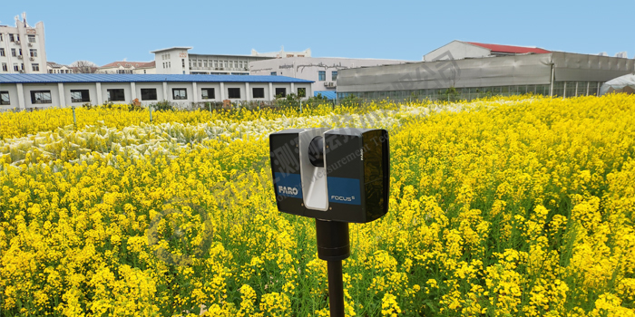
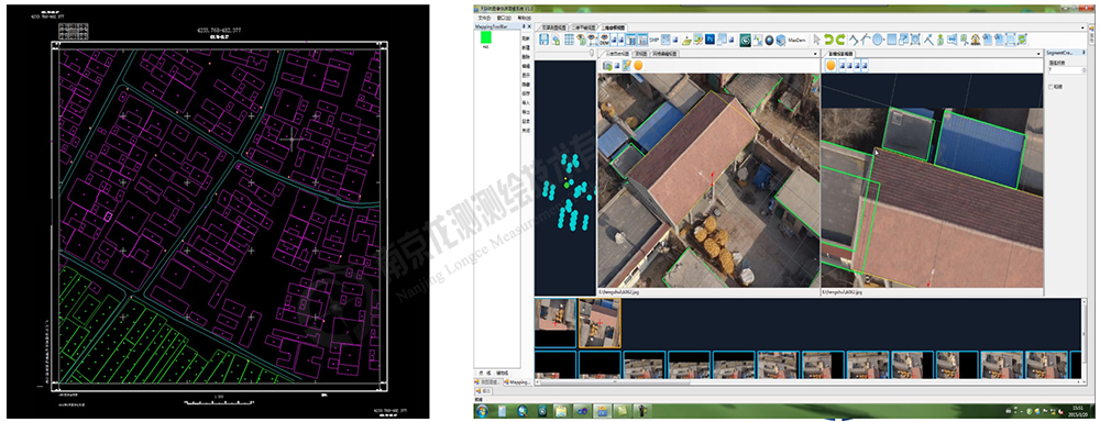
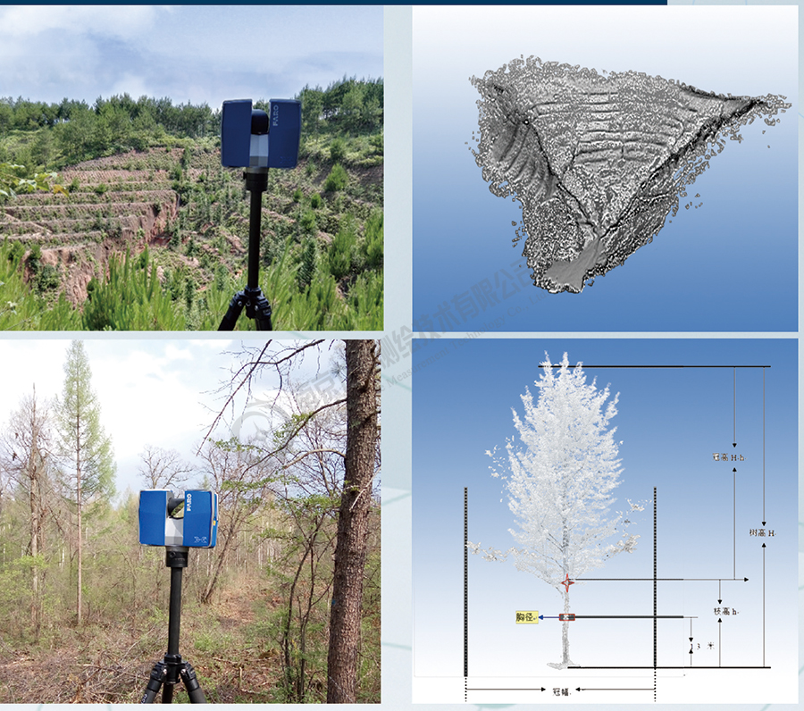
The high-density and high-precision 3D point cloud data of terrain, trees and other objects can be quickly obtained through a 3D laser scanner.It is used to accurately describe the features of ground objects, and the obtained data can quickly generate TIN models and contour models, providing data support for topographic mapping, volume calculation, fine forestry, and forest census.One measurement can obtain 3D and 2D data at the same time,compared with traditional surveying and mapping methods, 3D laser scanning has the characteristics of high efficiency, rich details, diverse results, and high input-output ratio. It is gradually becoming a new measurement method, leading a new round of measurement technology changes.

农田扫描
Scan Farmland


基础地形图测绘
1:500 basic topographic map surveying and mapping


地形林业立面等应用


龙测三维-三维扫描仪-3D扫描服务-FARO法如Sweep WeChat yards pay attention to us

  • Quotation and presentation requestliuchunlei@longce.net

  • The mobile phone+86 13851969931

Nanjing Longce Measurement Technology Co., Ltd  Address:No.15 Xinghuo Road, Jiangbei new district, Nanjing,China. ICP:苏ICP备20044645号-1