Hello, welcome to Nanjing Longce surveying and Mapping Technology Co., Ltd!
语言选择: ∷ 

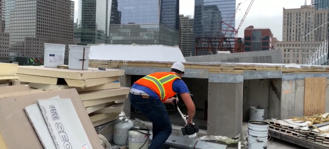
NAVVIS records construction progress and ensures quality

Release time:2021-06-03 09:59viewed:times
NAVVIS records construction progress and ensures quality
 
"3D laser scanning will create a permanent as-built record for building owners or facility managers. This record is superior to picture documents and supports communication and support for communication and collaboration using geolocation images containing points, click measurement, and point of interest creation (POI)."
 
--Mark Hannah,CEO of  Precision Point
 
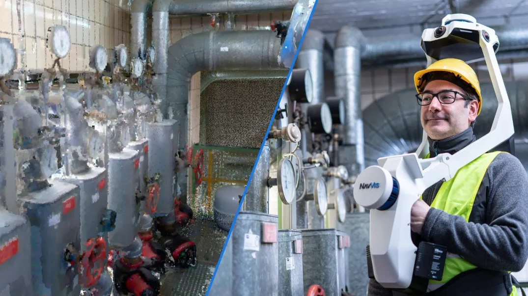
At this stage of construction, everyone is talking about  how to make the construction more convenient and safe. So, what are the advantages of NavVis in construction?
 

In a typical construction project, rework may account for 15 percent of the construction cost. Maintaining a certain frequency of 3D building scanning will allow any potential problems to be highlighted before they lead to notice of changes, thereby reducing risk to the prime contractor.
 
Regular scanning can record important construction milestones, such as handover between different industries, and compare the delivered work with the original design models and drawings to ensure project quality.
 
Precision Point, an American surveying and mapping company, knows better than most the advantages of 3D laser scanning.
 
Mark Hanna, founder and CEO of the company, explained that comprehensive 3D laser scanning can effectively generate building copies during scanning. This digital model can be used as a reference to ensure that subcontractors comply with contract delivery requirements.
 

"This can keep the contractor in good faith and greatly reduce engineering changes. This is very common in substandard projects that have not been recorded by laser scanning." He said. Practice has proved that the transparency of information sharing is one of the effective methods to reduce project disputes in the construction industry.
 
In some cases, laser scanning can mine additional information about specific aspects of buildings so that corrective action can be taken.For example, an accurate concrete slab model can effectively identify uneven areas, while software can determine the amount of materials needed to adjust the level, thus reducing waste.
 
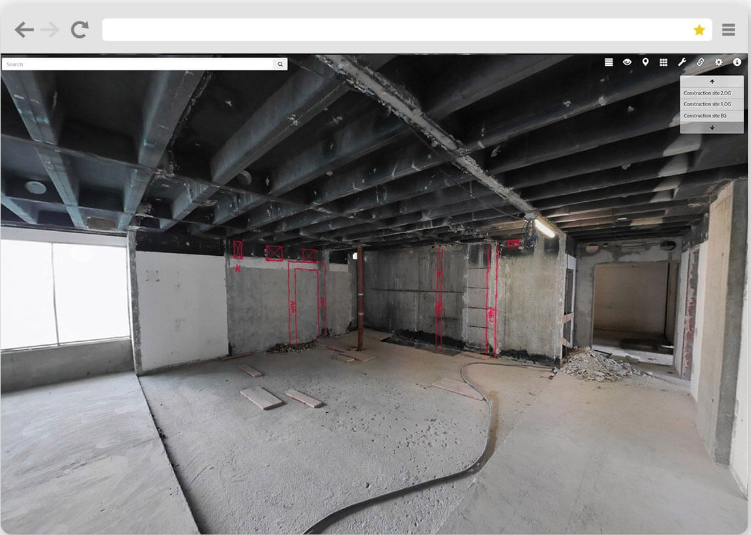
Accurate millimeter-scale scanning of piping, HVAC, structural steel, reinforced concrete, etc. The data obtained marks the actual construction date and is compared with the original design to verify that all components are installed in the correct position. As soon as any errors are found, the design and manufacture of new components can be modified in advance, without the need for hasty remedial work on site.
 
Records behind walls, above ceilings and below floors can bring many benefits to customers and building owners. They can use this record for building management and maintenance after handover, or as the basis for future renovation work.
 
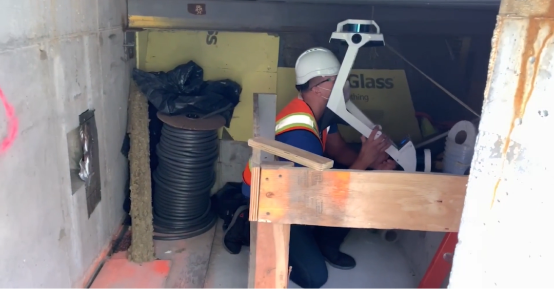
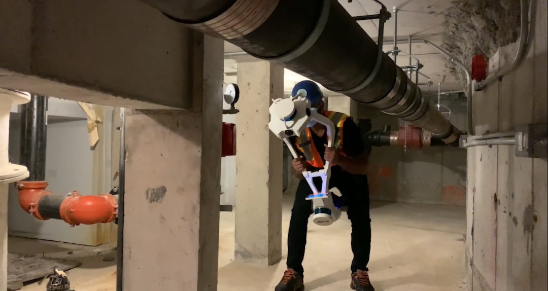
NavVis, a mobile scanning system, may have a significant impact on projects that need to obtain high-quality data quickly and frequently to update existing information.


龙测三维-三维扫描仪-3D扫描服务-FARO法如Sweep WeChat yards pay attention to us

  • Quotation and presentation requestliuchunlei@longce.net

  • The mobile phone+86 13851969931

Nanjing Longce Measurement Technology Co., Ltd  Address:No.15 Xinghuo Road, Jiangbei new district, Nanjing,China. ICP:苏ICP备20044645号-1