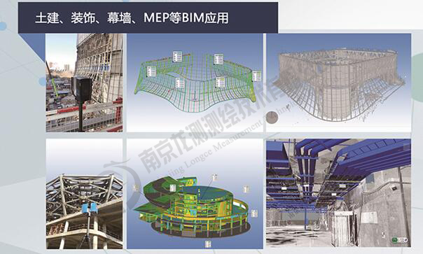
3D laser scanning technology uses non-contact measurement methods to collect data on buildings, and obtain point cloud data containing building space coordinate information and texture information. It provides architects, engineers, and surveyors with an efficient and fast tool. Obtain accurate and true records of building status and building site selection to provide relevant basis for urban planning. It can be applied to projects such as fill and excavation engineering, deformation detection, elevation detection, construction monitoring, structural analysis, building environment records, and building completion acceptance.
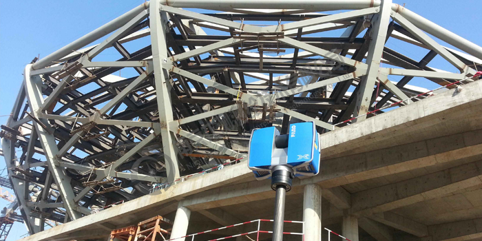
Field Scan of Steel Structure
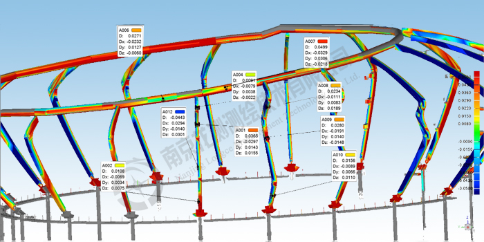
Steel structure construction deviation


