In the digital twin ear, there is an increasing demand for 3D scanning .A new generation technology of NavVis VLX was born.
overview
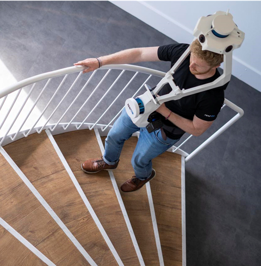
NavVis VLX is a wearable indoor mobile mapping system that enables high-quality reality capture in even the most complex buildings such as construction sites, staircases and technical rooms.
Dual LiDAR
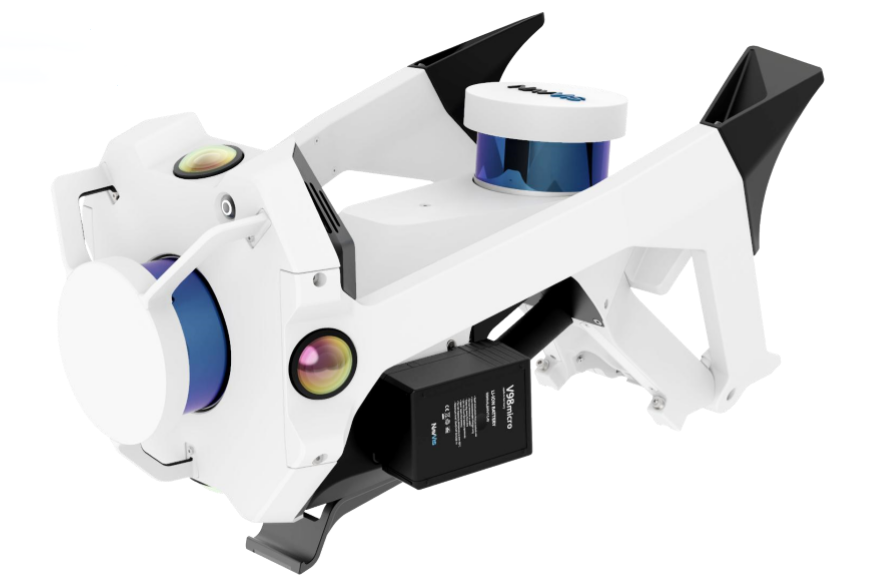
Two multi-layer LiDAR sensors capture 3D measurements and enable industry-leading SLAM software in a combination that delivers survey-grade point cloud quality.
Complete 360° capture
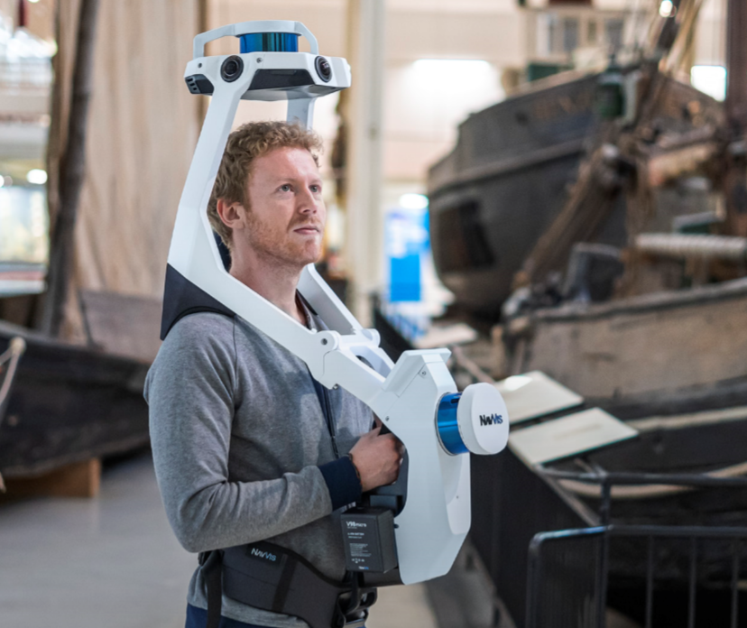
Four cameras positioned on top of the device take high resolution images in every direction and without the operator appearing in the field of view.
Easy to operate.
The device is easily placed on the shoulder, allowing the operator to free his hands during scanning. .
The battery.
Two lithium batteries can be scanned for shours (hot- plugging is also supported). .
Clever design.
A safe air box is easy to transport and contains all necessary tools. Just expand to start the scan.
Real-time interaction.
The front screen keeps everything in control, with a high-resolution OLED display . Data set management, real-time quality map, indoor/outdoor and multi-floor scanning. There is also real-time interaction.
Control points
For control data quality ,align dataset and eliminate offsets during long-term scanning, NavVis VLX is compatible with ground and wall control points.It is easy to record just by aiming at the target. .
Software NavVis IndoorViewer
Point clouds are often limited to professionals working with floorplans and BIM models. With NavVis IndoorViewer, point clouds are transformed into web-based, fully immersive 3D buildings that let every stakeholder explore and interact with scanned spaces as if they are on site.
NavVis IndoorViewer brings a new dimension of spatial understanding to every building scan project, with web-based access to fully immersive 3D buildings. The realistic, interactive digital buildings open up new use cases for 3D scanning and improve existing ones across industries, including manufacturing, construction, surveying, facility management, and BIM modeling.
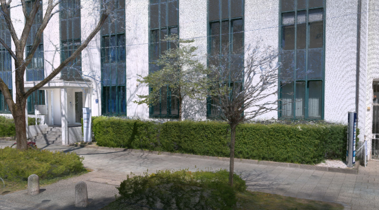
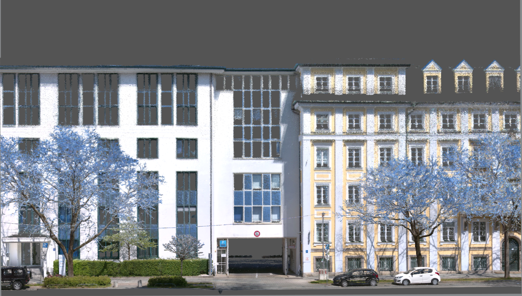
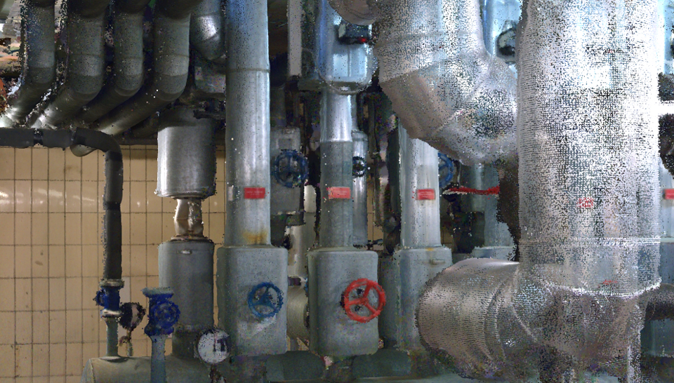
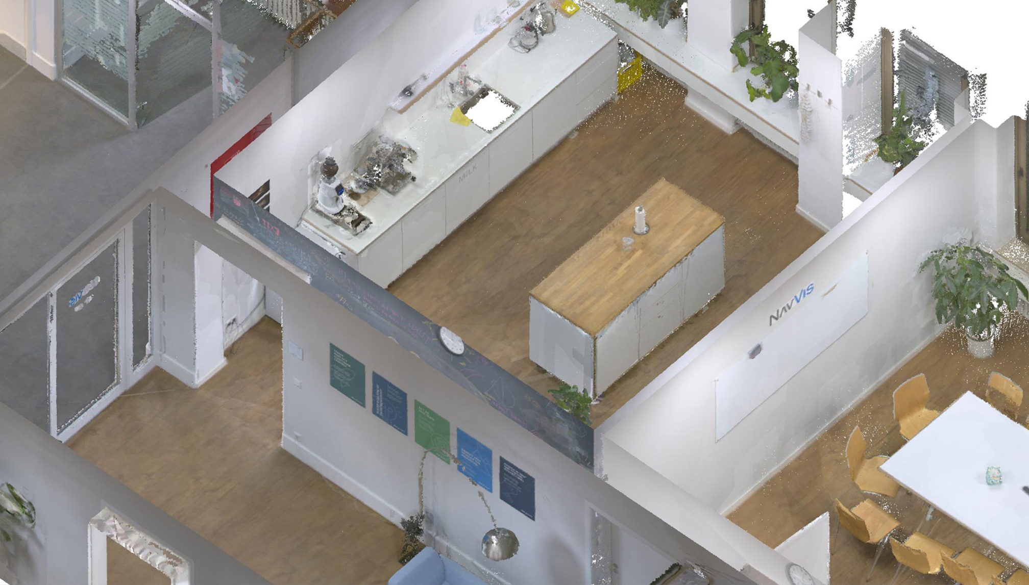
Point clouds display captured by NavVis VLX
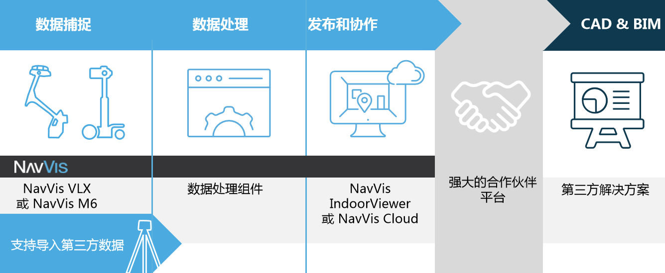
The working process
Compatible software
NavVis VLX data acquisition is compatible with the following software


