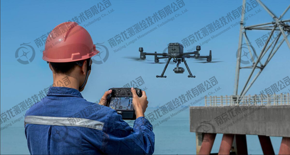
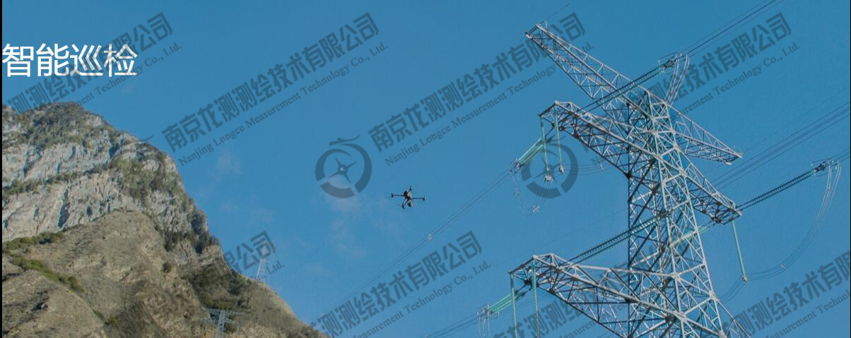


Through online task recording, the movement of the aircraft, tilt of the cradle head, photo shooting, zoom and other actions can be recorded in real time, and can be stored as airline files, which can be called at any time in the future automatic patrol task.
AI supported accurate reshot function, greatly improved the accuracy of automated tasks.After the online task recording is completed, the target area is selected from the sample box. In the subsequent automated task, the AI algorithm will compare the target area with the current real-time picture autonomously, so as to correct the shooting Angle of the camera, so that the same target area can be shot every time.
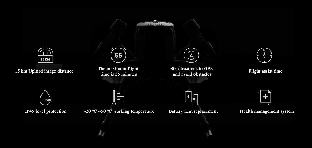
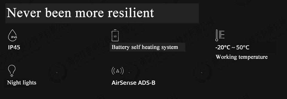
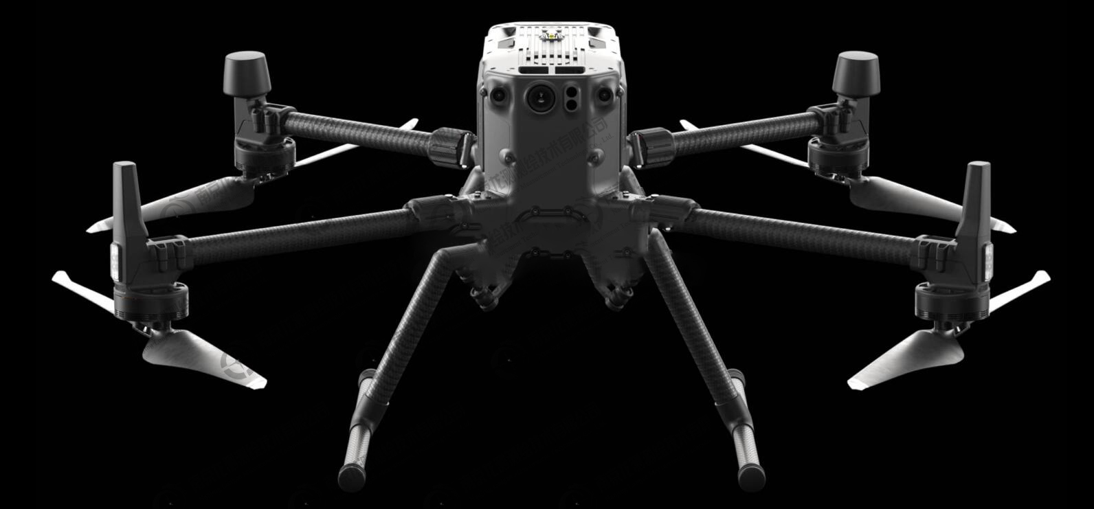
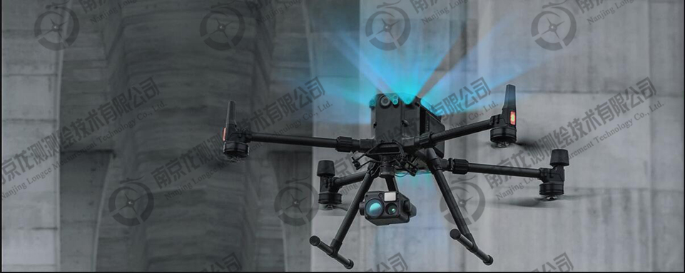
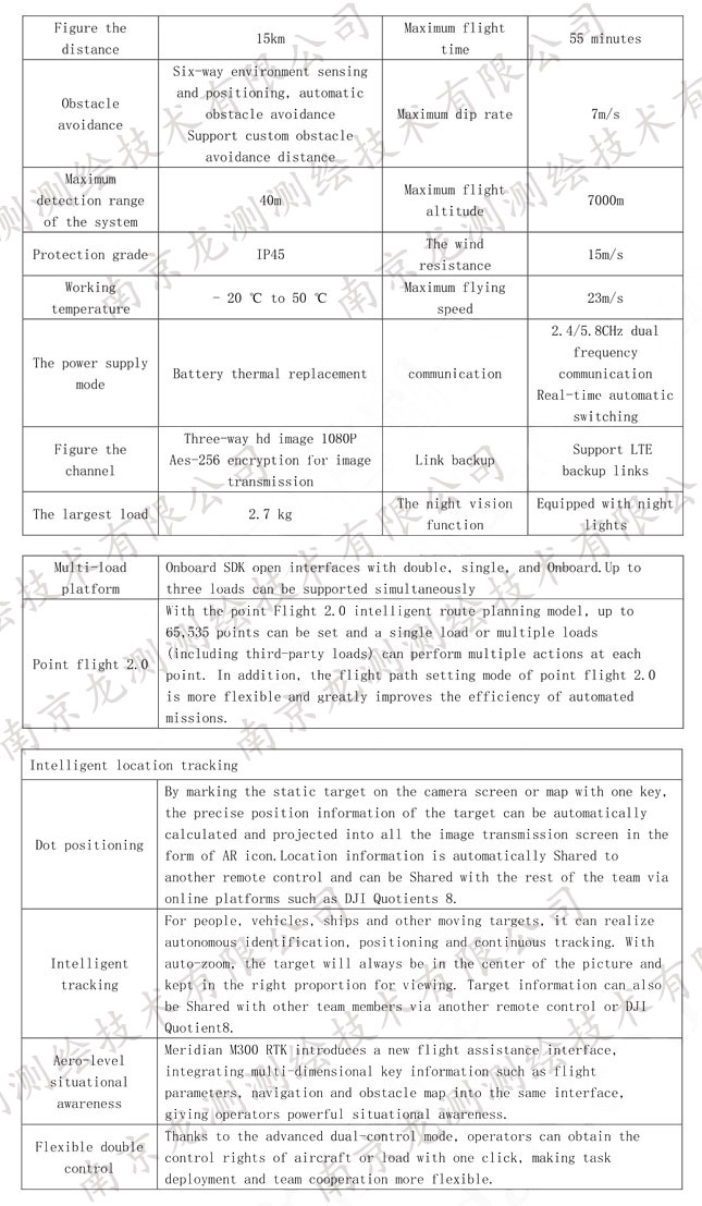
In order to promote flight safety and stability, the xinjiang industry level of unmanned aerial vehicle (uav) for the first time the binocular vision and infrared sensor 器 is introduced into the fuselage of the six surfaces at the same time, bring the whole six to environmental awareness and positioning, obstacle avoidance ability.The maximum detection range of the system is up to 40 meters, and the obstacle avoidance distance can be customized through DJI Pilot App.Even in the complex operating environment such as the bottom of the bridge water, it can also ensure stable flight and obstacle avoidance.
 Sweep WeChat yards pay attention to us

Quotation and presentation requestliuchunlei@longce.net

The mobile phone+86 13851969931
Nanjing Longce Measurement Technology Co., Ltd Address:No.15 Xinghuo Road, Jiangbei new district, Nanjing,China. ICP:苏ICP备20044645号-1